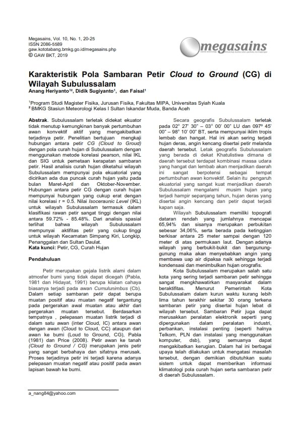
Characteristics of Cloud to Ground (CG) Lightning Strike Patterns in Subulussalam region
Main Article Content
Abstract
Subulussalam is located near the equator, which does not rule out the possibility of a lot of active convective cloud growth resulting in lightning. The research aims to examine the relationship between CG (Cloud to Groud) lightning and rainfall patterns in Subulussalam using the Pearson correlation method, IKL and GIS values ??for mapping lightning strike density. The results of the rainfall analysis show that the Subulussalam region has an equatorial pattern which is characterized by two peaks of rainfall, namely in March-April and October-November. The relationship between CG lightning and rainfall is quite close with a correlation value of r = 0.5. The Isoceraunic Level (IKL) value for the Subulussalam area is classified as very high lightning prone with a value between 59.72% - 85.48%. From the spatial analysis, it can be seen that the Subulussalam area has quite high lightning activity for the Simpang Kiri, Longkip, Penanggalan and Sultan Daulat sub-districts.
Article Details

This work is licensed under a Creative Commons Attribution-NonCommercial 4.0 International License.
The author is willing to retain the copyright and grant journal rights to the first publication with works that are simultaneously under license the Creative Commons Attribution-NonCommercial-NoDerivatives 4.0 International. It allowing the others to share the work with recognition of the author's work and the initial publication in this journal.
Authors can enter into separate additional contractual arrangements for the non-exclusive distribution of published versions of journal works (for example, posting them to institutional repositories or publishing them in a book), with recognition of the initial publications in this journal.
Authors are permitted and encouraged to send their work online (for example, in their institutional repositories or websites) before and during the submission process because it can lead to productive exchanges, as well as previous and larger citations of published works.

